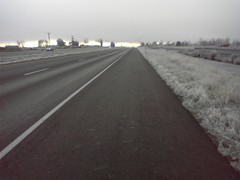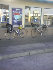
This (proposed)permanent route starts in Richland, WA - and takes the 'natural' route to Umatilla, OR, and then to Pendleton. And then you reverse course and head back. The distance is a safe-and-sane 210km. The highlights of the route include a nice climb up Clodfelter, a bike path over the Columbia River, a ride along the Umatilla River from Umatilla to Hermiston, and, the canyon road from Echo to Pendleton. Some photos, for preview purposes, are
here and
here.
More details:The precise start location is the intersection of Leslie and Gage roads in Richland, WA. There are numerous potential card-signing/receipt-offering mechanisms near this intersection. Albertsons (also has an ATM inside (and a Starbucks)), Albertsons Express minimart, a Shell minimart and a stand-alone Starbucks.
There are five controls: Richland, Umatilla, Pendleton, Umatilla and Richland. The control on Pendleton is open. There are a variety of options in Pendleton - ranging from minimarts to restaurants. A recommended option in Pendleton is the Hut, see a
previous posting for a description and coordinates.
A bikely-based description of the route is
here.
The route sheet is
here.
The overall elevation gain is approximately 2000meters - the biggest climb is the ridge between Richland and the Columbia river (a Clodfelter climb on the way out and a Plymouth Road climb on the way back).


